DIY GPS navigation using Arduino
|
|
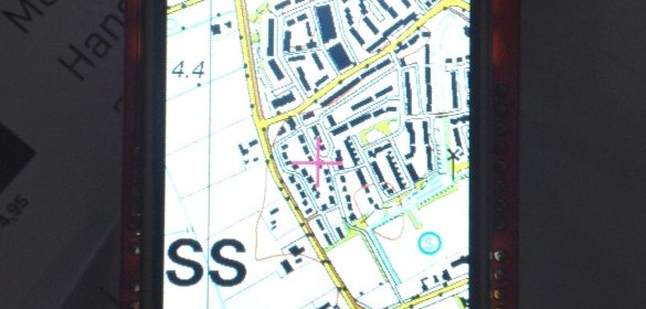
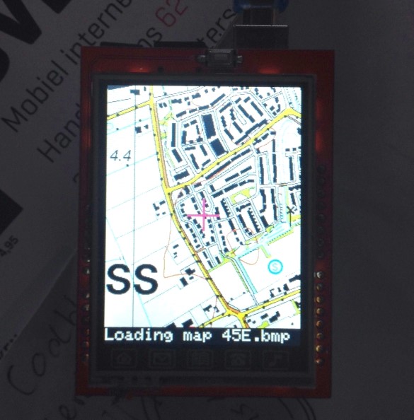
This DIY GPS navigation system is built under $25 and uses Arduino with a GPS module and a 320*240 TFT to display the topographical maps stored as BMP files on an SD card.
Based on the combination of TFT module and Arduino UNO fram Banggood and the GPS module from the same supplier I built a basic GPS navigation system that uses the topographical maps of The Netherlands (top25raster). In total there are 304 bmp files on an SD card, so the images are very detailed! In principle any 8 bit bmp map can be used. The maps were obtained from www.kadaster.nl, the software is based upon modules from Adafruit.
Sketch plus explanation are available on Github: middelbh/GPSnavigator.
Enjoy and please inform me about optimisations!
DIY GPS system using Arduino
|
|
It is moist critical that your buyers rely on and look after their rely on. To
better understand the ltest trends in online car shopper behavior, consider the following statistics:.
You also need to put in quotes from someone in the business, even if that someone is yourself.